No rest for water-weary county
TONY BROWN/DAILY FORUM
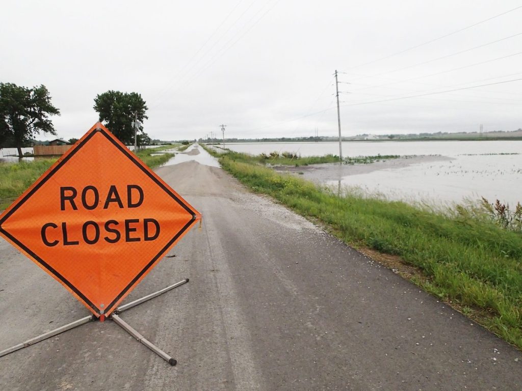
Jet Road was one of a half dozen gravel motorways in Nodaway County rendered impassable going into the weekend by widespread flooding caused by Thursday’s torrential rain. About the same number of highways and blacktops were closed by the Missouri Department of Transportation as numerous rivers and creeks escaped their banks.
A couple of unverified funnel sightings aside, radar-indicated tornadoes failed to materialize Thursday, but mother nature still packed a wallop, drenching Maryville and much of Nodaway County with several inches of rainfall in less than two hours during a late-afternoon deluge.
More rain was anticipated over the weekend.
The twilight storm arrived on the heels of about an inch of rain that fell Thursday morning and caused widespread flooding of rivers, creeks and streams already swollen bank full after one of the wettest springs in recent years.
As much as seven inches of rain were reported Thursday in parts of the county, however in most areas the total was more like three to four inches — which was more than enough to close roads, flood basements and submerge fields planted with young corn already stressed by too much water.
According to University of Missouri Extension, less than 70 percent of the 2015 corn crop was in the ground as of June 1, and three-quarters of the overall crop was rated from fair to very poor condition.
Thursday’s rain — with more apparently on the way — turned what was already a bleak situation for row crop farmers into a near disaster.
At this time last year, according to the U.S. Department of Agriculture, 100 percent of northwest Missouri corn and 91 percent of soybeans were planted and rated good to excellent.
But 2014’s smiling summer weather and bumper harvest are now distant memories.
“There’s not a hybrid on earth that withstands four weeks of this weather and little sun,” MU Extension agronomist Bill Wiebold said.
Nearly 16 inches of rain fell in northwest Missouri during the traditional planting season from April 1 to May 31, according to the Missouri Climate Center, and National Weather Service forecasts indicate little relief from wet weather until later this week.
The One Hundred and Two River at Highway 136 just east of Maryville was at flood stage and still rising Friday as water spread into low-lying fields and lapped over a causeway onto a parking lot that this time of year is usually a popular spot for catfish-seeking anglers.
A half-dozen road closures were announced by the Missouri Department of Transportation in various parts of the county going into the weekend. These included Highway 246 west of Sheridan between Noble Road and Olympic Road; Highway 46 between Empire Road and Festival Road; Highway 46 between Route PP and Highway 113; Route DD between the Skidmore west city limits and Canyon Road; Route JJ between Fortune Road and Galaxy Road; and Route U between Arkoe and Keystone Road.
About the same number of gravel roads were flooded as well, according to Nodaway County road and bridge Superintendent Larry Dougan, who said most of the high water occurred along the One Hundred and Two River, which runs north to south in the east central part of the county.
Dougan said there didn’t appear to be many bridges and tube crossings damaged by the newest round of flooding, but added that existing trouble spots, including washouts and eroded banks caused by high water late last summer, are now in worse shape than ever.
“The ones from before that we haven’t gotten to yet are now a little worse,” he said.
Inside Maryville, there were numerous reports of flooded basements and submerged lawns. Phil Laber, an art professor at Northwest Missouri State University, said water backed up through drains into the cavernous basement of the Olive DeLuce Fine Arts Building, which contains a warren of student art studios. Laber described the damage as minor.
Water also infiltrated the studio theater foyer at the Ron Houston Center for the Performing Arts, where maintenance workers set out fans in order to dry the carpet.
The storm entered Nodaway County from the southwest, and the National Weather Service issued a tornado warning for Quitman, Graham, Skidmore, Barnard and Maryville shortly before 5 p.m.
Based on radar-indicated tornado-like cloud rotation, the warning was extended a short time later as the storm moved through Maryville and Ravenwood and then into northwestern Gentry County, where straight-line winds reportedly downed trees and power lines.
The Weather Service issued an all-clear for Maryville shortly before 6 p.m.
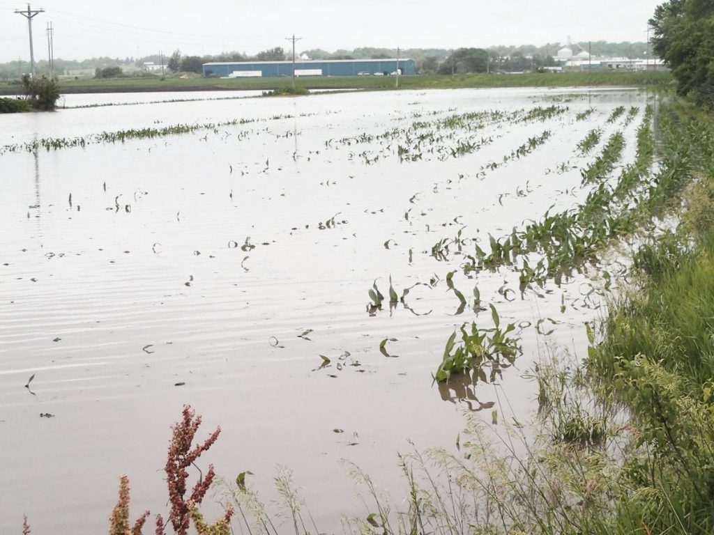
TONY BROWN/DAILY FORUM
The tops of young cornstalks peak through the surface of floodwater in a submerged field near the One Hundred and Two River Friday morning at the east Maryville city limits.
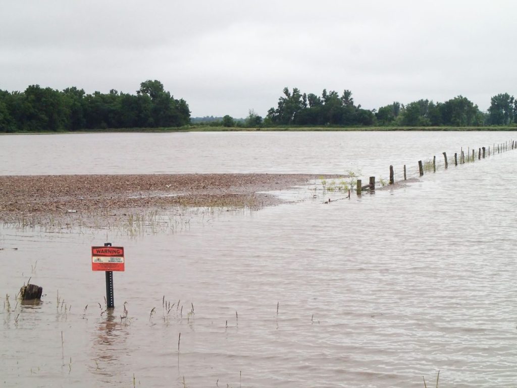
TONY BROWN/DAILY FORUM
There was no fencing in the One Hundred and Two River on Friday morning as the swollen stream continued to rise and spread across bottomland fields and pastures.
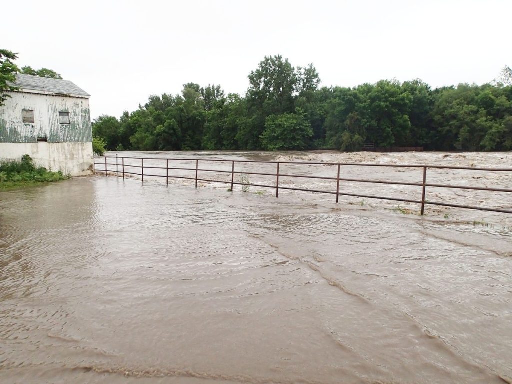
TONY BROWN/DAILY FORUM
Brown, swirling water from the One Hundred and Two River laps over a parking area near the Highway 136 bridge that, in drier times, serves as popular spot for local fisherman trying their luck.
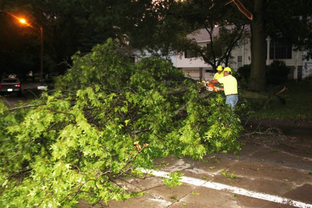
JIM FALL/DAILY FORUM
City of Maryville street crew workers use a chainsaw to remove a large tree that was downed by straight-line winds on East Crestview Drive during Thursday’s rainstorm. Though the storm was accompanied by a pair of tornado warnings, damage inside the city limits was mostly limited to flooded yards and basements.